At a glance
- Langjökull's ice releases water that flows through lava springs at Hraunfossar, fills the glacial lake Hvítárvatn, and feeds the Hvítá river toward Gullfoss.
- At Hraunfossar near Husafell, water emerges from porous lava fields, creating a striking contrast between ice-fed streams and ancient volcanic rock.
- This glacial iceberg lake sits between the ice cap and the waterfalls, collecting meltwater before it continues downstream to Gullfoss.
- Langjökull loses roughly 11% of its area per century. Ride across ice today to witness a landscape that will transform dramatically in coming decades.
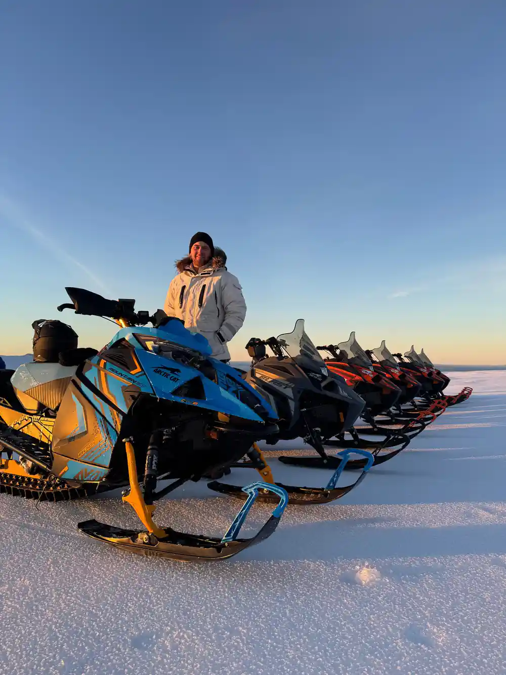
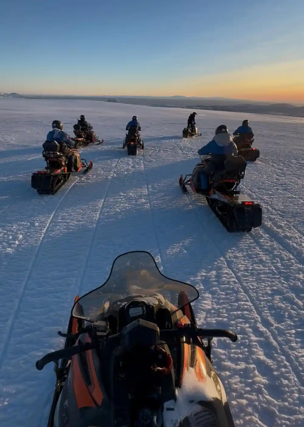
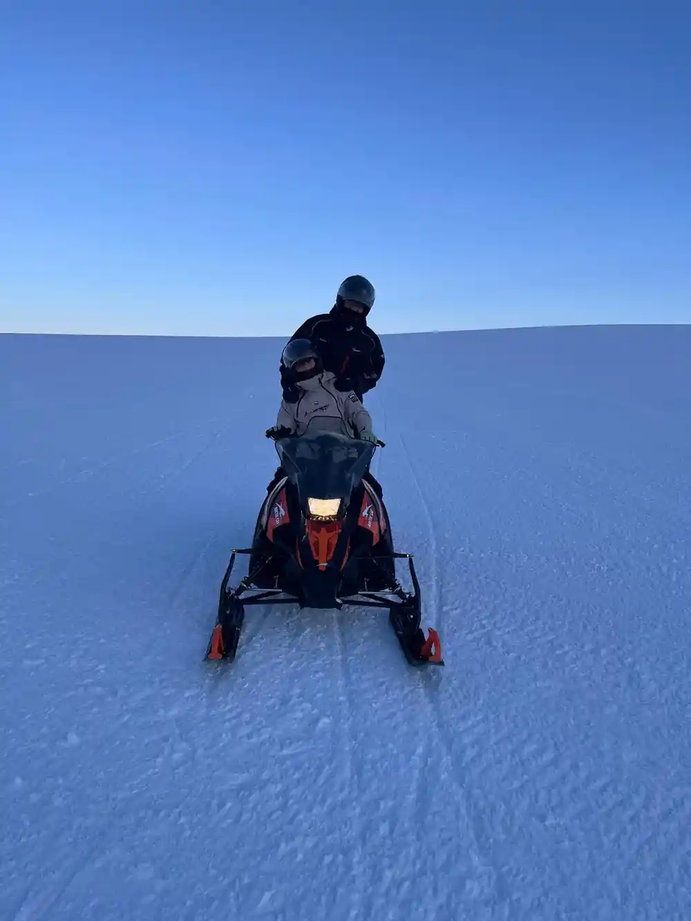
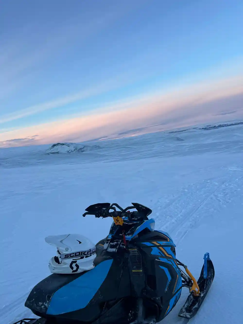
- The snowmobiles cross ice that is up to 800 years old, compressed and flowing slowly downslope where it opens into deep crevasses over time.
Where Langjökull's Meltwater Begins
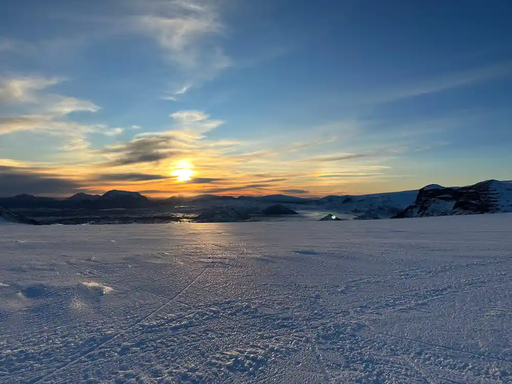
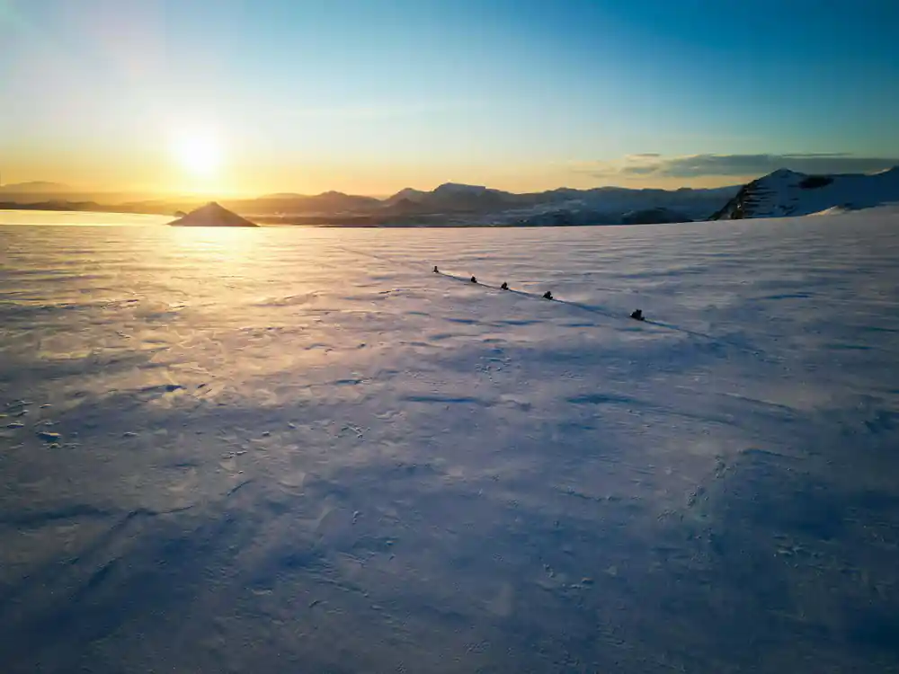
Langjökull, Iceland's second-largest ice cap, sits at the heart of the Central Highlands, covering 953 square kilometers of ancient frozen water. Every year, this glacier loses volume to warming temperatures and melt. The water that flows from its edges tells a story of geology, climate, and the dramatic transformation underway across Iceland's ice fields. When you ride across Langjökull on a snowmobile, you're traveling over ice that has accumulated over centuries, each layer a record of past winters. The ice moves constantly toward the margins, a process that opens deep crevasses and fractures visible from the surface.
The meltwater that seeps from beneath the glacier enters a hidden network of volcanic rock and aquifers. Langjökull rests partially on lava fields, and this geology shapes where the water emerges and how it travels downslope. Understanding this journey requires tracing the path from the ice cap's edge through underground channels, across visible waterways, and finally to the powerful waterfalls that define the region's landscape.
Hraunfossar and the Lava's Hidden Springs
In the Borgarfjörður region west of Husafell, the Hraunfossar falls demonstrate one of Iceland's most unusual hydrological features. Here, water does not cascade from a cliff face. Instead, dozens of springs emerge directly from ancient lava, creating a curtain of streams that flow from the porous rock. These are groundwaters that have traveled through the lava field, filtered and cooled by the volcanic stone. Hraunfossar exists because meltwater from Langjökull percolates down through cracks in the ice cap's southern edge, passes through soil and rock layers, and emerges where the lava's permeability changes.
The water that creates Hraunfossar is cold year-round, typically near freezing even in summer. The lava through which it flows acts as both a filter and a insulator, removing sediment and regulating temperature. The result is exceptionally clear, blue-green water that flows with surprising volume despite its distributed sources. Visiting Husafell falls and the surrounding landscape reveals how Iceland's water cycle depends on geology as much as climate.
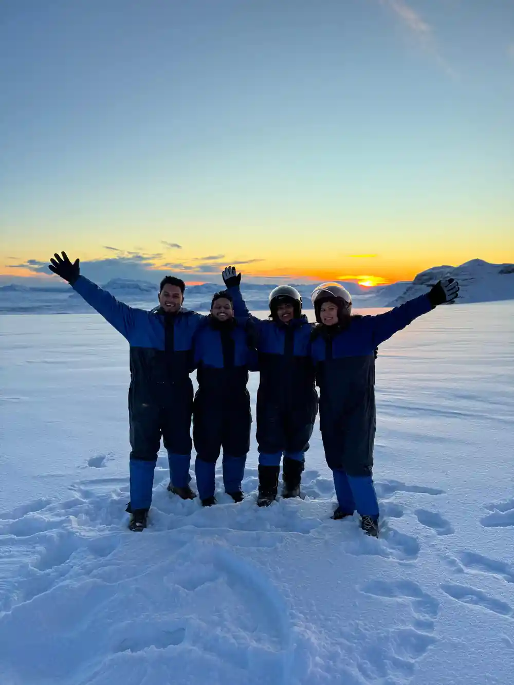
Glacial meltwater emerges from lava near Husafell, fed by Langjökull above
Hvítárvatn: The Iceberg Lake
Between Langjökull's terminus and the downstream Gullfoss waterfall lies Hvítárvatn, a glacial lake fed directly by meltwater from the ice cap. Hvítárvatn is one of Iceland's most dynamic water bodies, its surface often dotted with icebergs calved from the glacier's face. The lake's color shifts from milky gray to pale blue depending on sediment load and light conditions, a visual record of glacial activity upstream. The water here is exceptionally cold, never warm enough to support substantial plant or animal life, yet it plays a crucial role in the region's hydrology by collecting and stabilizing the flow from the glacier.
Hvítárvatn acts as a natural reservoir, moderating the volume and temperature of water that reaches Gullfoss. As the ice cap shrinks, the lake's size and the frequency of calving events change. The icebergs that float on Hvítárvatn represent the visible margin of Langjökull, and their decline over recent decades reflects measurable ice loss documented by glaciologists across multiple decades of observation.
The Hvítá River and Its Journey to Gullfoss
The Hvítá River carries meltwater from Hvítárvatn westward and downslope toward one of Iceland's most celebrated waterfalls. This river is glacially fed, meaning its volume and color respond directly to seasonal melt patterns and daily temperature cycles. In summer, warm air accelerates melt across Langjökull's surface, swelling the Hvítá with milky suspension of glacial flour. Fine sediment gives the river its characteristic pale color and reduces light penetration to just a few centimeters below the surface. The Hvítá's power and appearance are direct expressions of what happens on the ice cap kilometers upstream.
Gullfoss receives this water after the Hvítá has descended through a series of rapids and smaller cascades. The waterfall drops 32 meters across two stages, with water plunging into a narrow canyon carved over millennia by abrasive glacial melt. The volume of water flowing over Gullfoss fluctuates throughout the year, peaking in late spring and early summer when melt rates are highest. This variation directly reflects the seasonal cycle of ice cap melting and the hydrological connection between Langjökull and the landscape far downstream.
Ice Movement and Crevasse Formation
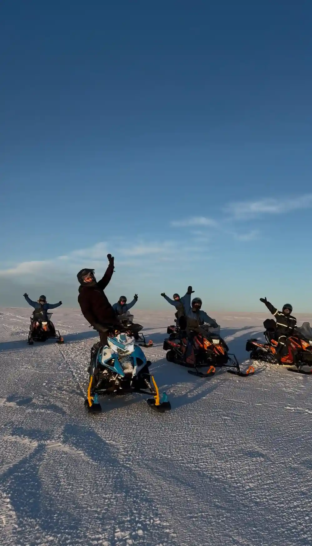
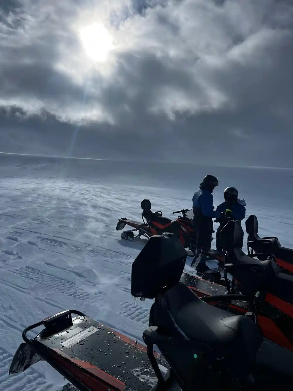
Glacial ice is not static. Langjökull flows outward and downslope under its own weight, a process that occurs continuously though imperceptibly in human timescales. Ice near the surface moves faster than ice at depth, and ice at the margins moves slower than ice in the center, creating internal stresses. Where these stresses exceed the ice's tensile strength, the ice fractures. Crevasses form in predictable locations: at the margins where the ice meets bedrock, on slopes where the ice accelerates downhill, and where the ice cap transitions from stable terrain to steeper descent. A snowmobile rider crossing Langjökull passes over and near these features, which can be dramatic and hundreds of meters long.
Crevasse patterns visible on the ice cap's surface map the flow beneath. Wider crevasses indicate faster flow or steeper terrain. Some crevasses open only seasonally as melt lubricates the ice base. Others remain stable year to year. The crevasses on Langjökull that guided riders encounter during a glacier tour are natural features of a living, dynamic system, not hazards unique to the ice cap but rather evidence of the mechanical processes that define how glaciers behave.
The Age of Langjökull's Ice
The ice you traverse during a snowmobile tour across Langjökull accumulated over many decades or centuries, depending on where on the glacier you ride. Ice at the surface of the accumulation zone near the ice cap's center may be 300 to 400 years old, having fallen as snow during the Little Ice Age or earlier periods of expansion. Ice closer to the margins is younger, perhaps only decades old. Deeper layers represent even older snow that has been compressed and transformed into dense glacial ice. Isotopic analysis of ice cores extracted from Langjökull has allowed scientists to trace atmospheric conditions back over 1,000 years, reading the ice like a geological library.
The current ice visible on Langjökull accumulated primarily during cooler climatic periods. Since the 1970s, warming air temperatures have caused the ice cap to thin and retreat. The ice you ride on today will be gone within a century if current warming trends continue. Each layer visible in a crevasse wall represents a single year's accumulation and melt, a visual record compressed into ice that may be centuries old.
Langjökull in a Hundred Years
Langjökull is shrinking measurably. Satellite and aerial surveys document that the ice cap has lost approximately 11 percent of its area since 1995, with average thinning of 0.75 to 1 meter per year in recent decades. If warming continues at current rates, models suggest that Langjökull could lose 50 to 70 percent of its remaining ice by 2100. The consequences extend across the landscape: Hvítárvatn will shrink as calving ceases and the glacier no longer feeds the lake. The Hvítá's flow will diminish, altering the appearance and volume of Gullfoss. The seepage that now feeds Hraunfossar may decrease as groundwater recharge from glacier melt falls. The crevasses visible on today's ice cap will close as the glacier thickens no further and begins to stagnate.
Yet ice that accumulated over centuries will not vanish overnight. Even under pessimistic warming scenarios, some ice will likely persist on Langjökull through the 21st century, though reduced to scattered patches on higher terrain. The transformation will be gradual enough that it spans human lifespans, yet rapid enough to be documented within a single generation. A snowmobile tour across Langjökull today offers a glimpse of a landscape in transition, a chance to cross ice that will appear fundamentally different to riders visiting decades hence.
Ride Langjökull Before It Shrinks
from US$284Reserve now & pay later