At a glance
- Iceland's distinctive table-topped mountain dominates the horizon from the glacier, its unusual flat summit visible across the ice cap on clear days.
- This glacier sits to the east of your riding area, marking the boundary between Langjökull and the remote highlands beyond.
- Once counted among Iceland's glaciers, Ok officially lost that status. Spot the place where it once stood from your vantage point on the ice.
- Your view extends far across the highlands toward Kjölur in the east. On the clearest days, some riders report seeing hints of the distant Atlantic coast.
- Every major peak surrounding the ice cap tells a story. Your guides identify each one, connecting the landscape to Iceland's geology and climate history.
Eiríksjökull's Distinctive Flat-Topped Profile
From your position on Langjökull's ice, Eiríksjökull dominates the southern horizon with one of Iceland's most recognizable shapes: a broad, flattened summit rising to 1,675 metres. This distinctive profile is not the result of erosion alone. Eiríksjökull is a tuya, a volcano that erupted beneath glacial ice during the last ice age. The weight and pressure of that ancient ice cap shaped the eruption itself, forcing lava to spread laterally rather than build a steep cone. The result is the blunt, table-topped mountain you see from the snowmobiling area.
The tuya's formation tells a story written in geology. When subglacial eruptions occur, meltwater cools the lava rapidly, creating pillow formations and steep-sided ridges where the magma met the ice edge. Over thousands of years, as glaciers retreated, Eiríksjökull's true shape emerged: a platform with a summit caldera. On clear days, every contour of that flat crown is visible, making it an unmistakable landmark for navigation across the ice cap and a compelling reminder of Iceland's volcanic and glacial past intertwined.
Þórisjökull: The Eastern Outlet Glacier
East of your snowmobiling position sits Þórisjökull, a substantial outlet glacier that flows from the same ice cap but occupies its own distinct valley system. At roughly 1,350 metres elevation at its highest reaches, Þórisjökull is younger in appearance than the main Langjökull plateau, with steeper slopes and more active surface features. From the riding area, it appears as a separate mass of ice and snow, though it is hydrologically connected to the larger system. The glacier descends into the Þórsá river valley, which drains northward toward the central highlands.
What makes Þórisjökull significant from your vantage point is its position as a marker of the ice cap's eastern boundary. Seeing it clearly helps riders understand the scale of Langjökull itself and the direction of the highlands beyond. Þórisjökull's presence on the horizon also indicates weather patterns; clouds that gather around it first often signal changing conditions moving across the ice cap. Local guides use these visual cues to assess conditions and timing during tours.
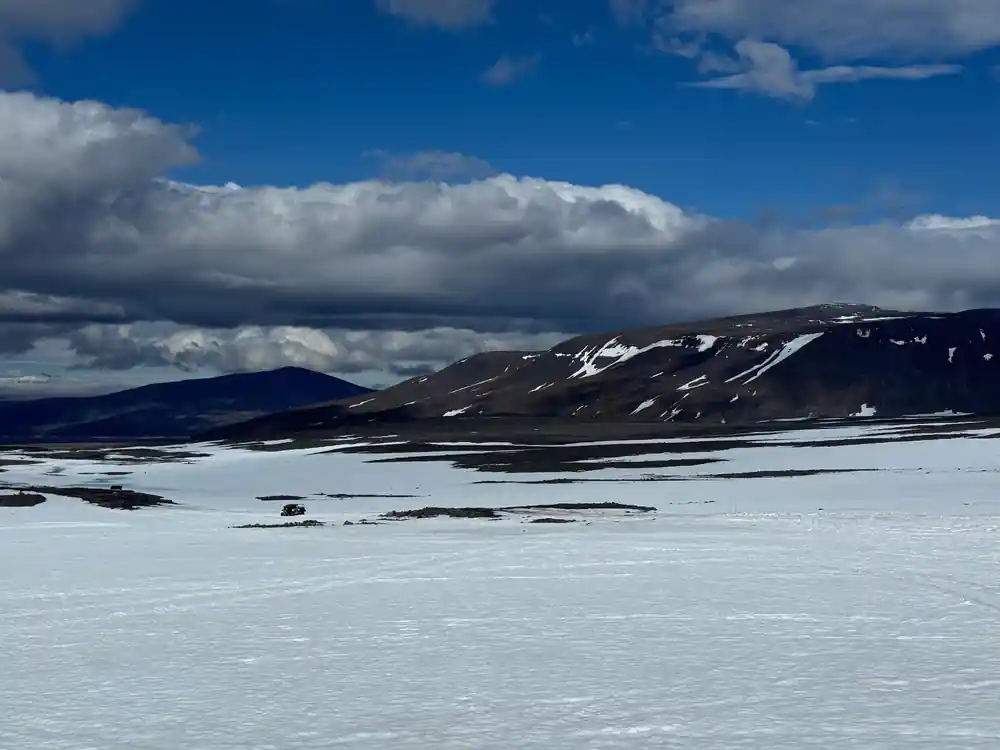
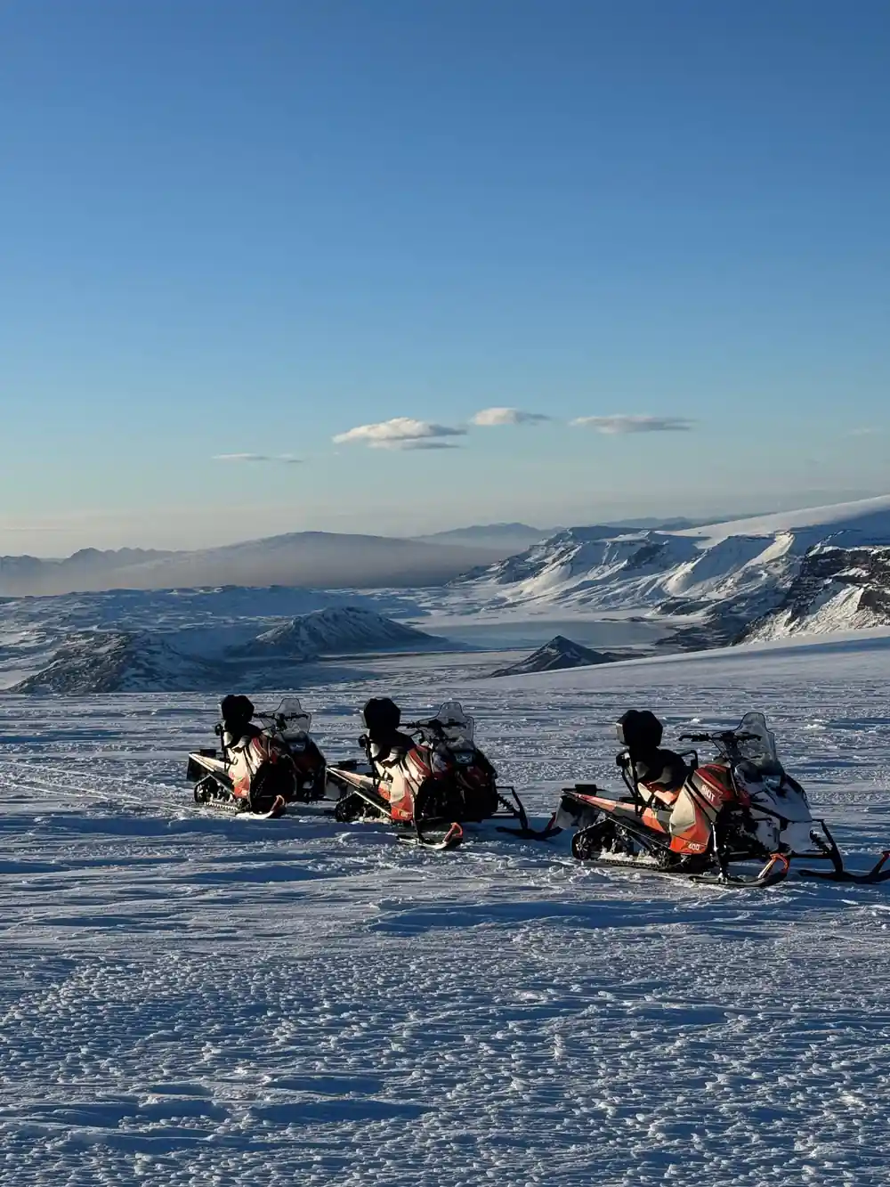
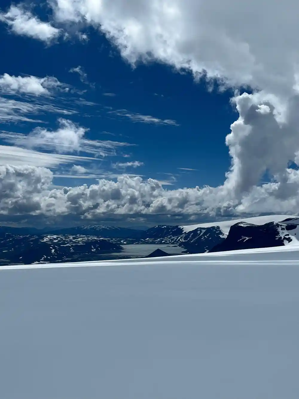
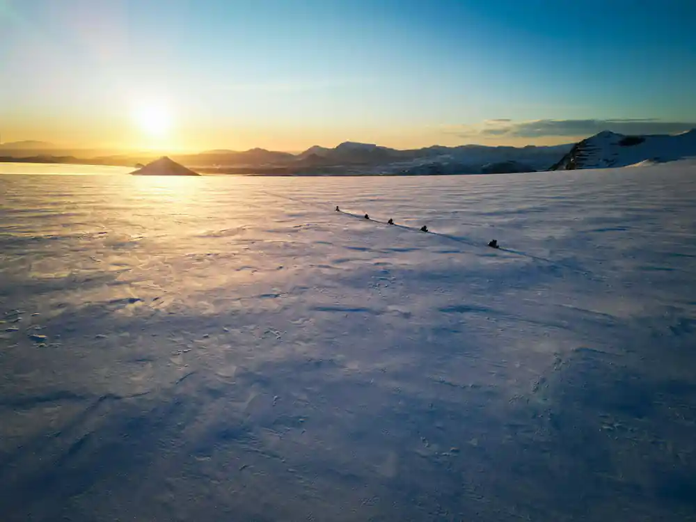
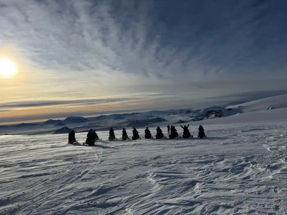
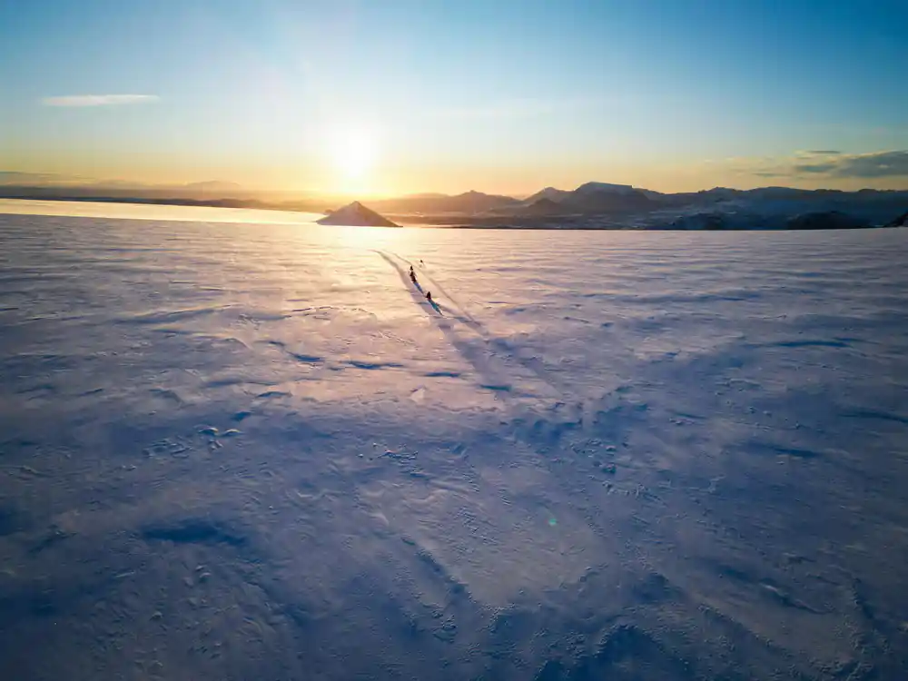
Eiríksjökull's flat summit and Ok's barren slopes frame the highland horizon
Ok: Why a Glacier Lost Its Name
Once counted among Iceland's glaciers, Ok ceased to meet the scientific definition in 2014, when a glaciologist declared it dead; a memorial plaque followed in 2019. Located southwest of Langjökull, Ok had shrunk to a small ice patch no longer thick or extensive enough to qualify as a true glacier under international criteria. A glacier must be at least 0.01 square kilometres in area and show evidence of independent flow and movement. Ok had become too thin and fragmented to demonstrate these characteristics, marking the first glacier in Iceland to be formally declassified due to climate change.
From the Langjökull riding area on clear days, you may identify the location where Ok once sat as a distinct white patch in the landscape. Its disappearance from the glacier roster is not merely a technical reclassification; it represents a visible marker of warming trends across Iceland's ice cap systems. Guides often reference Ok as a concrete example of how the ice landscape is transforming, making it a sobering focal point in conversations about what the view from the ice cap reveals about climate and time.
Snæfellsjökull Across Breiðafjörður Bay
On exceptionally clear days, when atmospheric conditions align perfectly, Snæfellsjökull becomes visible far to the northwest, rising above Breiðafjörður Bay. This iconic glacier-topped volcano sits roughly 120 kilometres away, yet from the elevated vantage of Langjökull's ice cap, the view is sometimes possible. Snæfellsjökull's distinctive cone shape and perpetual white crown contrast sharply with the broad, gentle terrain of Langjökull. The mountain stands at 1,446 metres and has long captured the imagination of travellers and writers; Jules Verne chose it as the entrance to his fictional journey to the earth's centre.
Seeing Snæfellsjökull from Langjökull requires specific weather conditions: low humidity, minimal atmospheric haze, and clear sightlines from north to northwest. When it appears, the mountain seems impossibly distant and ethereal, a landmark that connects your current position on one ice cap to another iconic Icelandic glacier across a broad expanse of land and sea. Your guide can help you identify it and explain the geographical relationship between Iceland's two most famous ice mountains, provided conditions permit the view.
The Highland Interior: Kjölur and Beyond
Eastward from your snowmobiling position, the landscape transitions toward Kjölur, Iceland's central highland plateau and one of the country's most remote and least populated regions. From Langjökull, you can trace the direction of this vast interior, marked by distant peaks, low volcanic ridges, and the general slope of the terrain. Kjölur lies at elevations between 600 and 1,000 metres and contains numerous smaller glaciers, geothermal areas, and river systems. The highlands are accessible only during summer months via rough mountain roads, making them feel even more distant and wild when viewed from the ice cap.
What makes the eastern highlands visible from your riding area is their scale and the clarity of the landscape's natural gradations. The eye can follow ridge lines, spot isolated peaks, and sense the terrain's texture even at great distance. Various volcanic systems punctuate this eastern view, some active, some dormant. On clear days, the depth of field extending eastward toward Kjölur demonstrates just how vast the Icelandic interior truly is and how central Langjökull sits within the country's geographic and geological framework.
Weather's Role in What You Can See
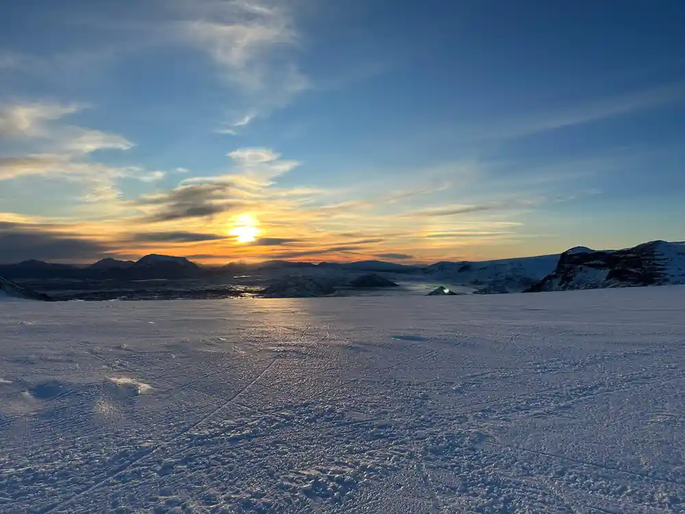
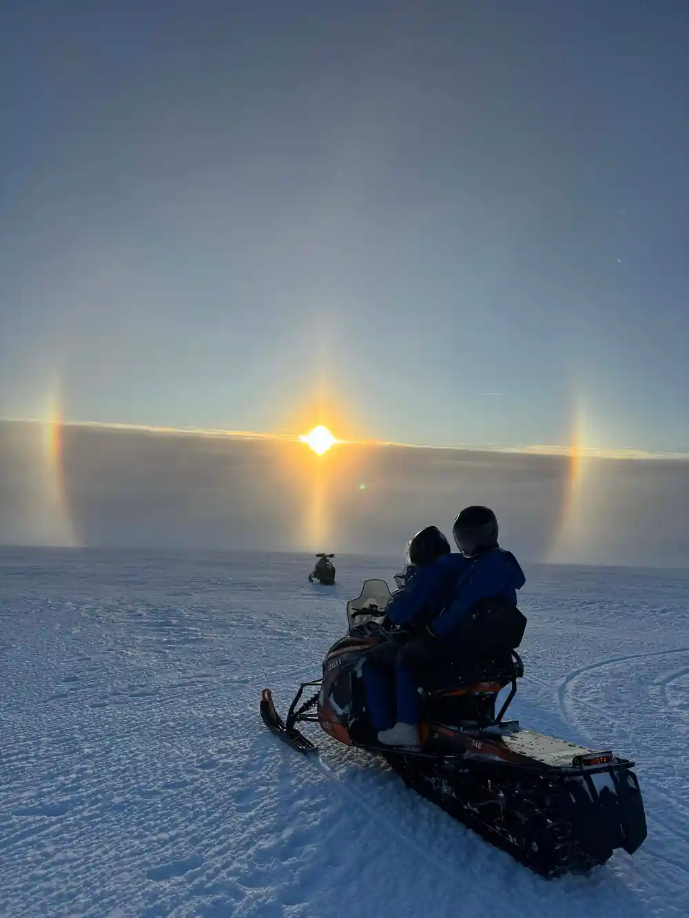
The horizon visible from Langjökull shifts dramatically with weather conditions, visibility, and atmospheric clarity. Clear days in summer offer the most extensive views, sometimes extending 100 kilometres or more in multiple directions. Conversely, clouds, precipitation, and the mist that often rises from lower elevations can obscure distant peaks within minutes. Humidity and particulates in the air scatter light differently depending on season; winter air is often crisper, while summer can bring haze from dust or moisture. Your guide reads these conditions constantly, using them to determine not only what can be seen but also which features merit explanation and how much time to spend observing specific landmarks.
Understanding that visibility is dynamic helps you appreciate what unfolds during your tour. If distant peaks are obscured, nearby features become the focus; if clarity extends far, your guide may spend time identifying lesser-known summits or distant glaciers. Weather also affects safety and routing across the ice, so the same atmospheric conditions that limit or enhance your view also influence how the snowmobile route is planned. Clear conditions that reveal Snæfellsjökull or extensive views into Kjölur often indicate stable weather and calmer ice cap conditions.
Reading the Landscape: A Guided Horizon Walk
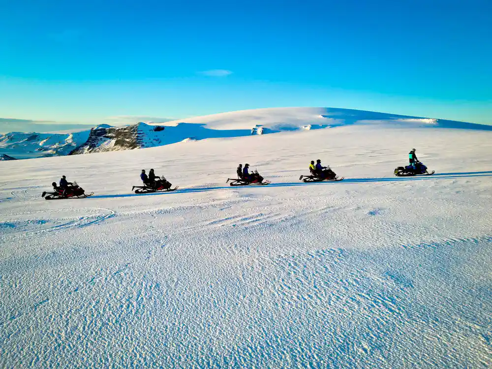
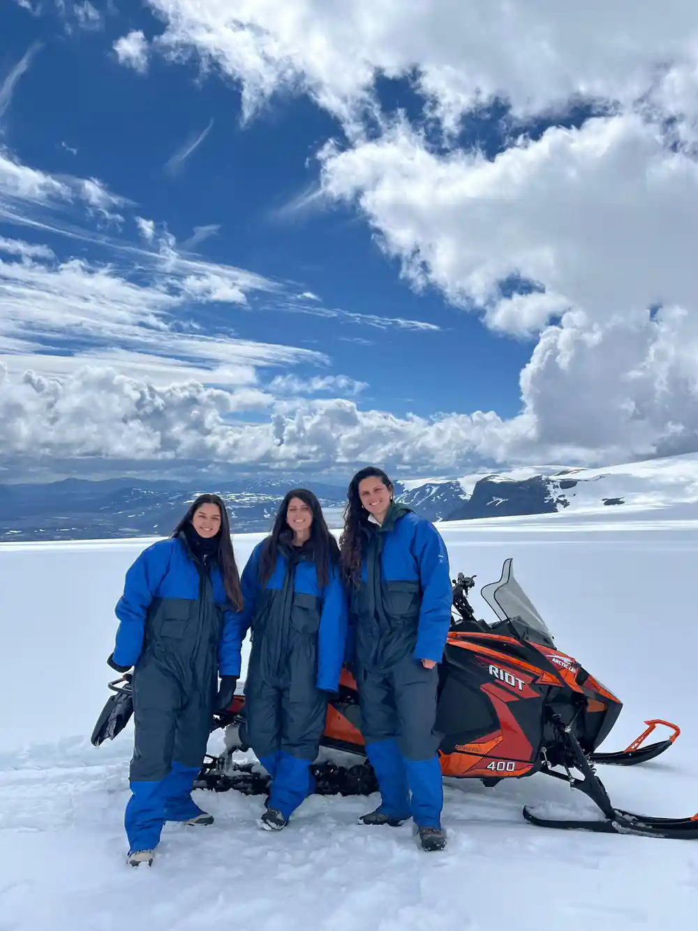
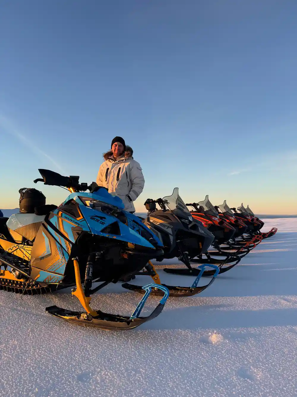
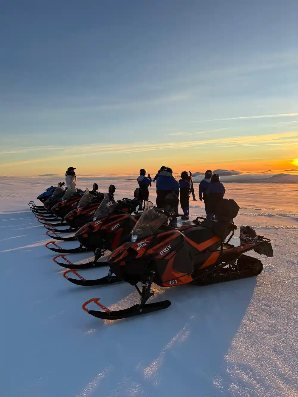
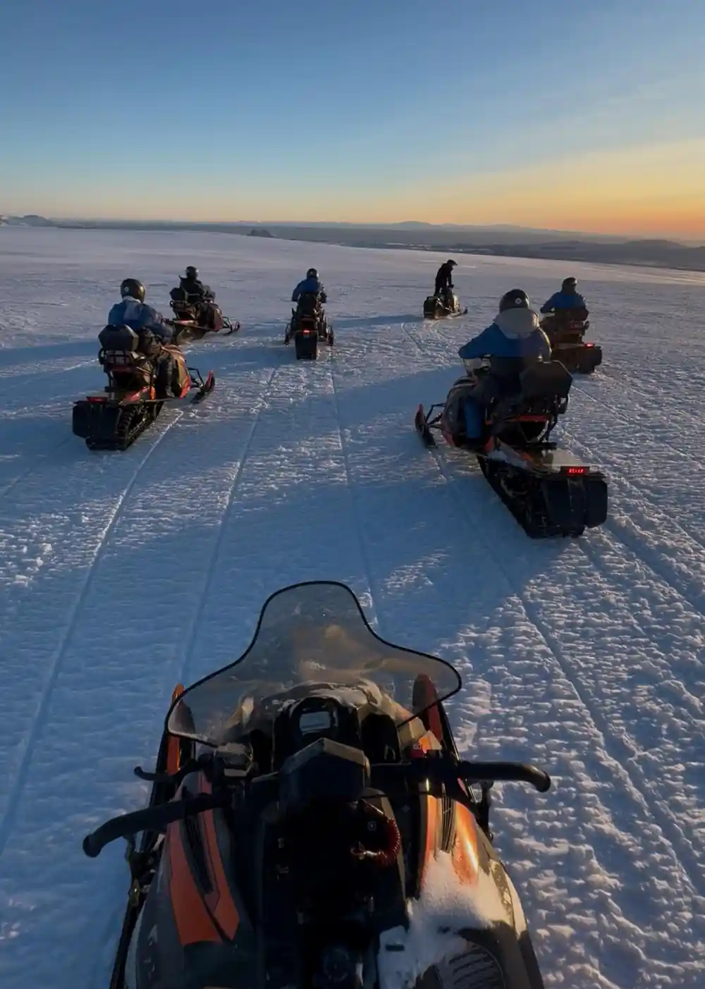
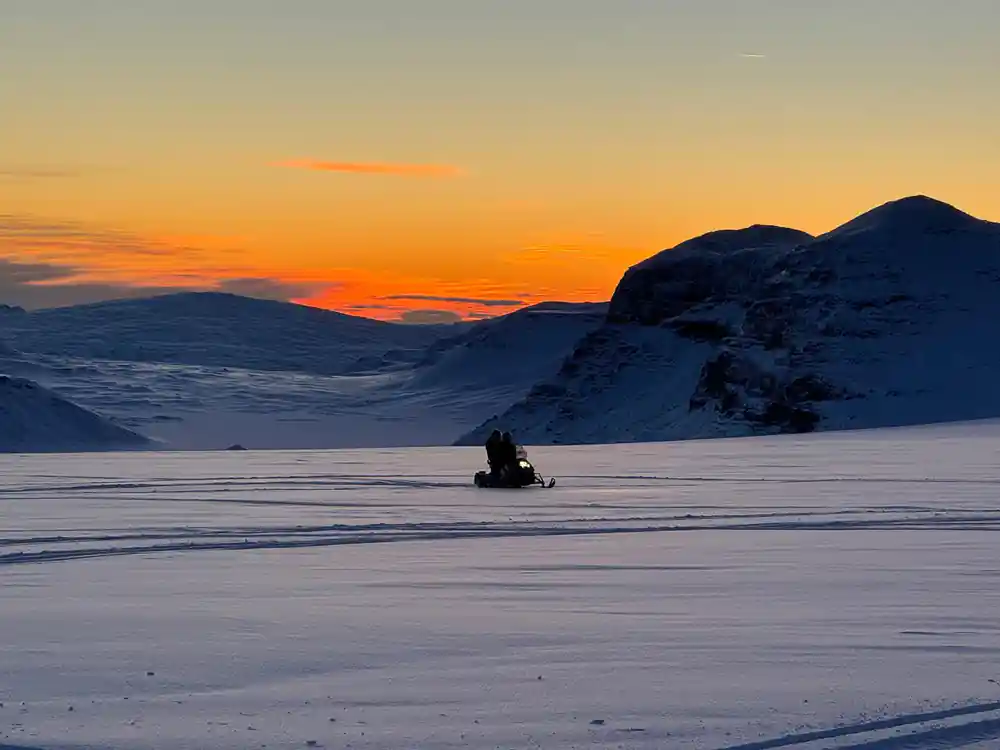
During your two hours on Langjökull, your guide serves as an interpreter of the surrounding geography, helping you identify peaks, glaciers, and geological features that might otherwise blend into an undifferentiated white and grey expanse. Each landmark tells a story: volcanic origin, glacial history, modern climate impacts, or cultural significance. The horizon becomes a three-dimensional map when a knowledgeable guide points out which peak is which, how far away it lies, and what geological process created its form. This guided interpretation transforms the view from beautiful scenery into a comprehensible landscape with depth, history, and meaning.
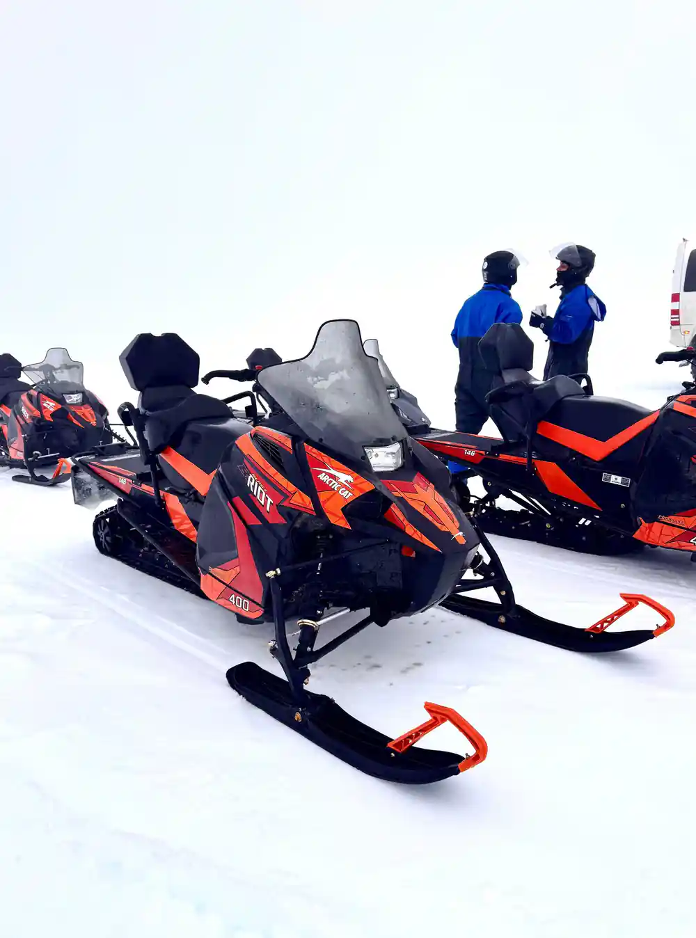
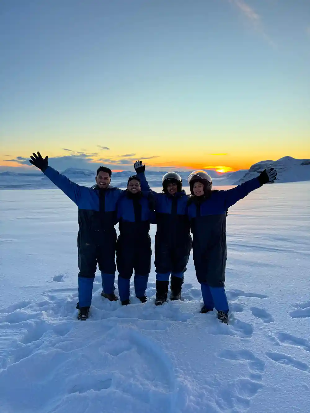
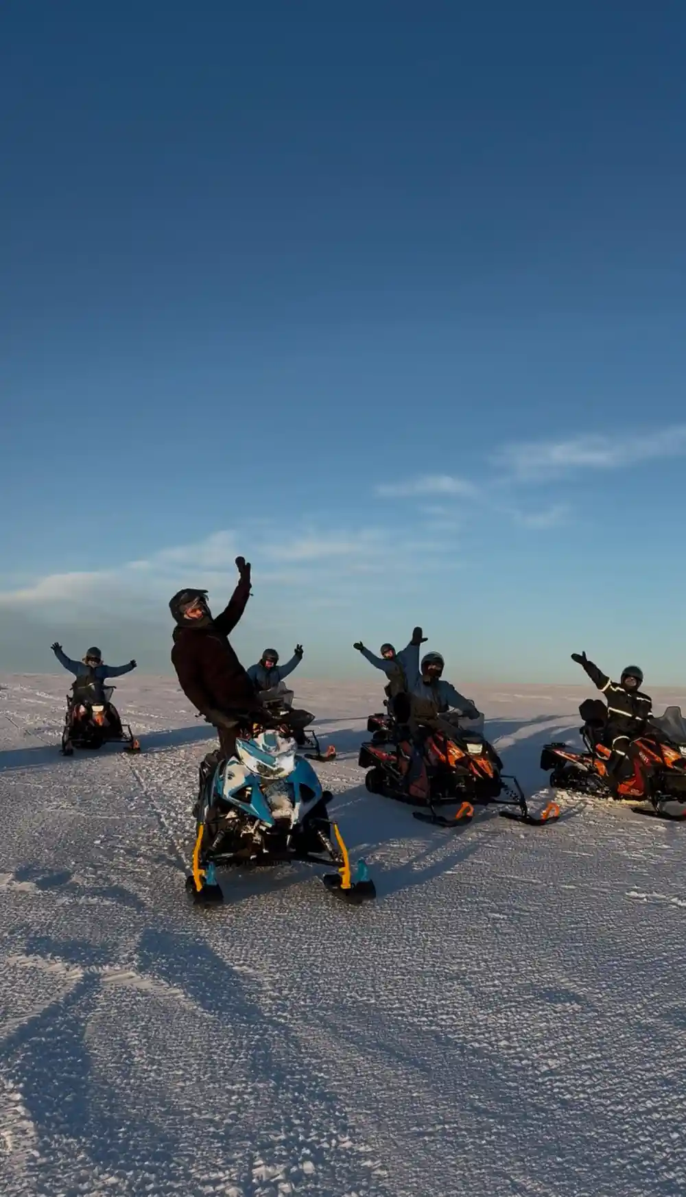
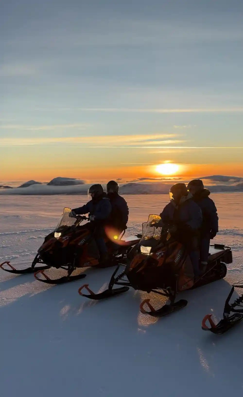
As you ride across the ice, take moments to turn and look backward at where you have been, as well as forward at the destination. The ice cap itself is a landmark; riding on it offers a perspective that few people experience. The sense of scale and isolation contributes to the experience. Whether conditions reveal distant mountains like Snæfellsjökull and Eiríksjökull or keep the view intimate and closer, the horizon from Langjökull remains one of Iceland's most distinctive vantage points for understanding the country's volcanic and glacial character.
Ride the Ice: Fourteen Guests, One Hour, Endless Views
from US$284Reserve now & pay later