At a glance
- Langjökull glacier area spans roughly 953 square kilometres, making it Iceland's second-largest ice cap by total coverage.
- The ice reaches depths of up to 580 metres at its thickest point, storing millennia of compressed snow and glacial history.
- The highest point of Langjökull glacier height stands at approximately 1,355 metres above sea level.
- Langjökull is shrinking by roughly 11 per cent each decade, reflecting the accelerating effects of climate change on Iceland's ice.
- Beneath the ice cap lie geothermal calderas and volcanic features, including geysers that heat water under the frozen surface.
Langjökull Glacier Ice Cap: Size and Scale
Langjökull glacier ice cap covers approximately 953 square kilometers, making it Iceland's second-largest ice mass after Vatnajökull. This vast expanse of ice stretches across the western highlands of Iceland, spanning roughly 65 kilometers from north to south and about 25 kilometers at its widest point. The sheer scale becomes apparent when you consider that the ice cap is thicker in some regions than in others, with depths reaching up to 580 meters in its central zone. This thickness represents thousands of years of accumulated snow and ice, compressed under the weight of successive layers.
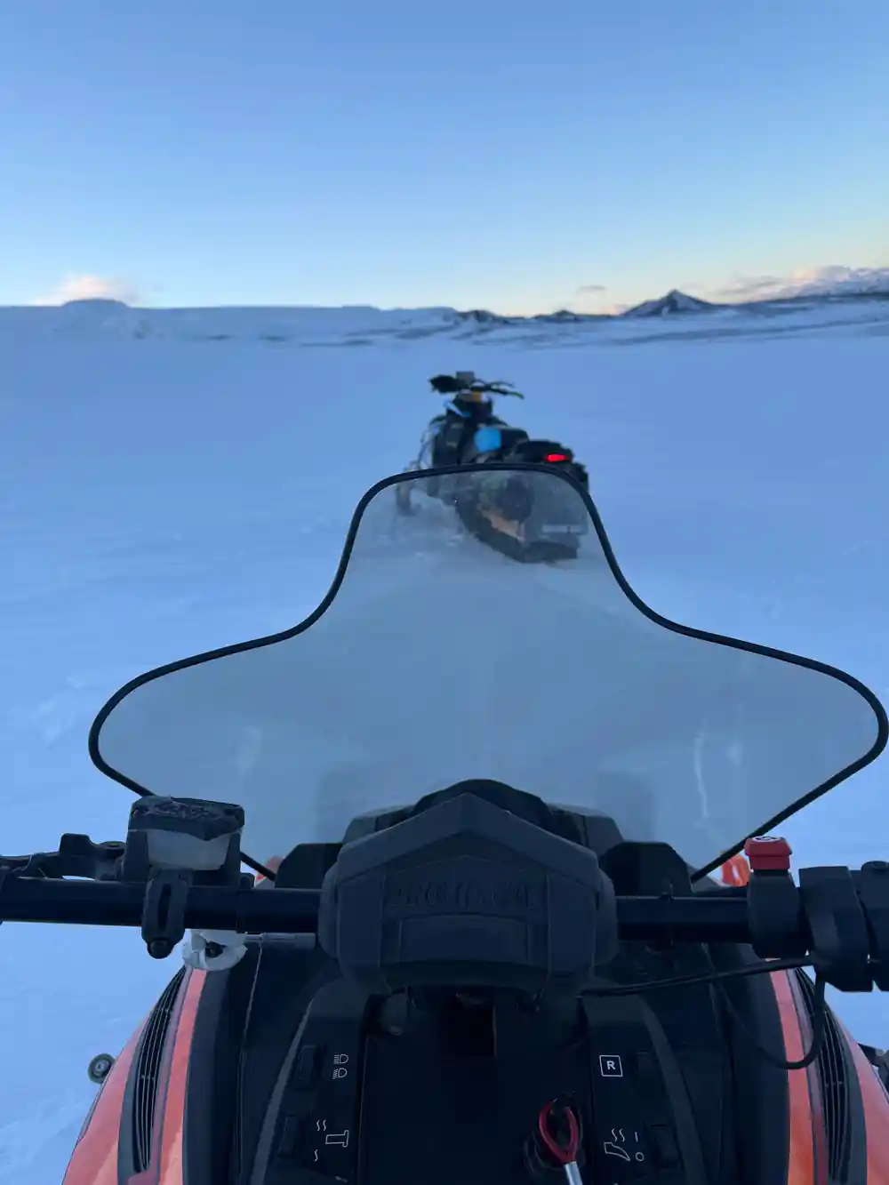
The Langjökull glacier size places it firmly among Europe's major ice masses. To grasp its magnitude, imagine an area nearly the size of the city of Los Angeles entirely covered in permanent ice. The glacier's surface is not uniform but rather characterized by ridges, crevasses, and undulating terrain that tells the story of its movement and the forces that shape it. Understanding these dimensions helps visitors appreciate why a guided snowmobile tour across this landscape represents a genuine adventure into one of Iceland's most impressive natural features.
Elevation and Location in Western Iceland
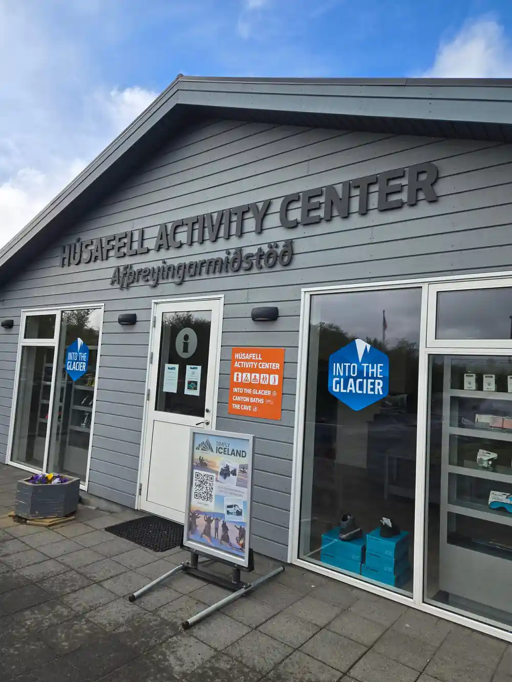
The Langjökull glacier elevation varies across its surface, with the highest points reaching approximately 1,355 meters above sea level. This places the ice cap well within Iceland's highland plateau, where weather conditions are extreme and snow accumulation remains consistent year-round. The Langjökull glacier west sits in a remote region of Iceland's interior, accessible primarily from settlements like Husafell on the coast. The glacier occupies a strategic position in the western highlands, surrounded by tundra, geothermal areas, and dramatic volcanic terrain that creates one of Iceland's most otherworldly landscapes.
The elevation at which Langjökull sits means that even during summer months, portions of the glacier remain frozen solid. The surrounding terrain rises and falls, with mountains and valleys framing the ice cap on all sides. This geographical position makes the glacier a natural boundary marker in Iceland's interior, and its presence shapes local weather patterns, meltwater systems, and the ecosystems of the surrounding region. For visitors, reaching this elevation provides sweeping panoramic views across Iceland's central highlands.
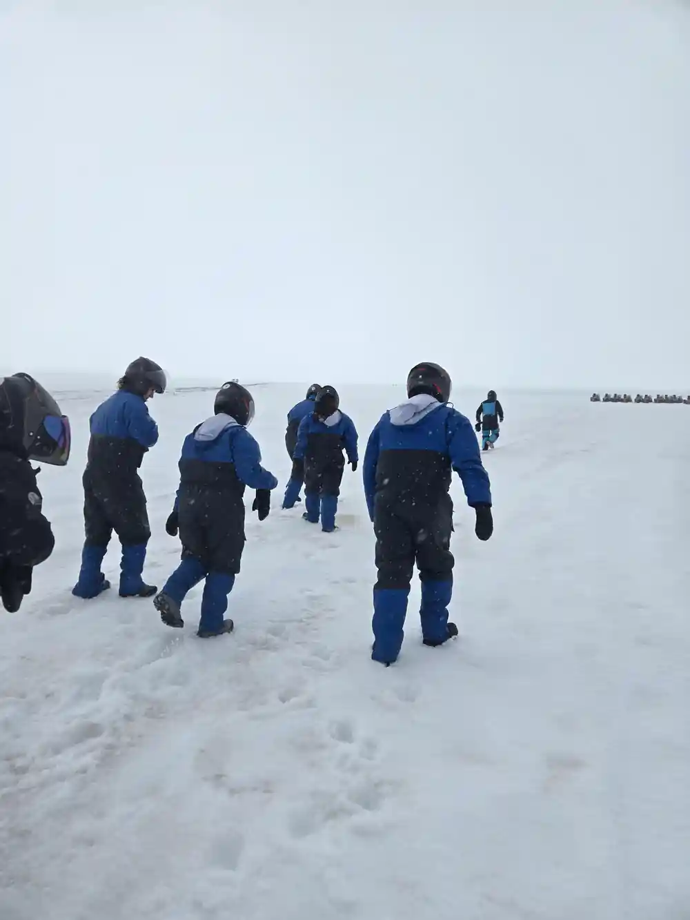
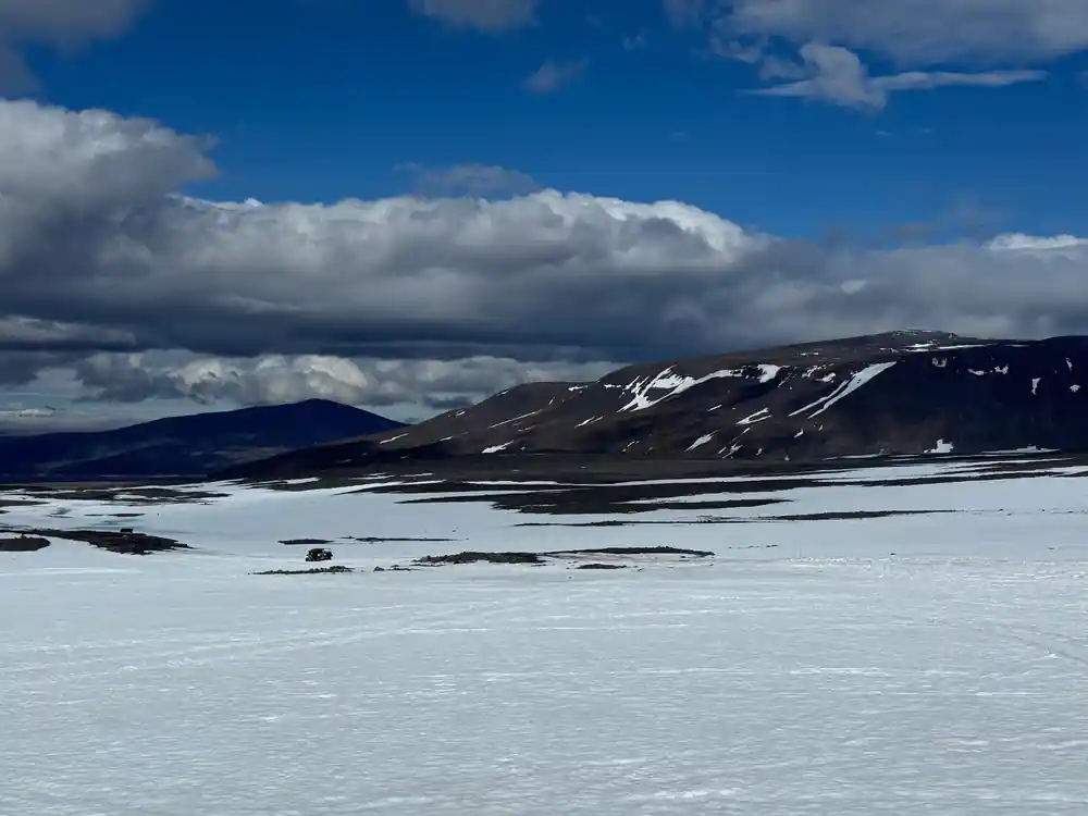
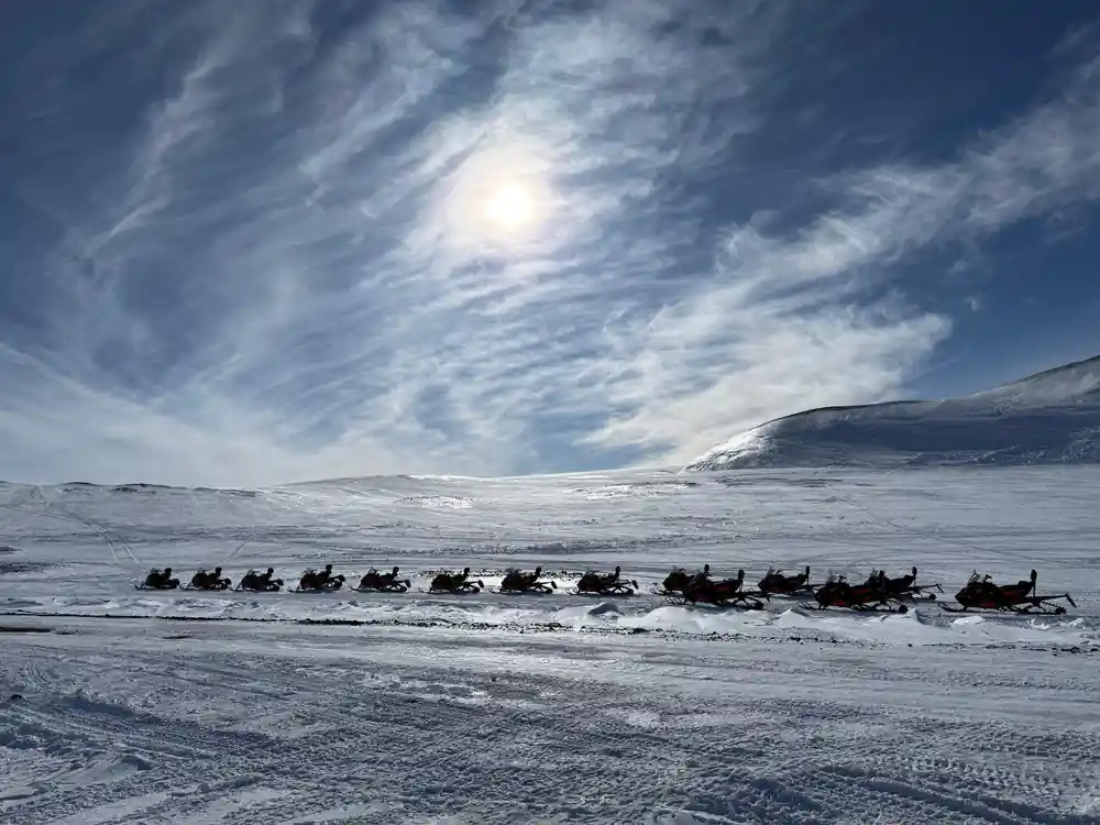
Langjökull's sprawling white expanse stretches across Iceland's interior highlands
Hidden Volcanoes Beneath the Ice
Beneath Langjökull's thick mantle of ice lie several significant volcanic systems, a reminder that Iceland's landscape is shaped by both glacial and geothermal forces. The Hofsjökull and Tungnafellsjökull volcanic systems sit partially covered by the ice cap, with caldera formations and geothermal features active below the frozen surface. The Eiríksjökull volcano also lies near the glacier's margins, contributing to the complex geology of the region. These buried volcanic systems create unique conditions where hot springs and geothermal vents exist mere meters beneath hundreds of meters of ice.
The presence of these volcanoes means that the glacier sits atop a dynamic geological foundation. Geothermal activity influences how the ice moves and melts, creating subglacial features that remain largely unexplored. In some areas, volcanic heat melts portions of the base, allowing water to flow between rock and ice in ways that fascinate glaciologists. This combination of ice and fire makes Langjökull geologically exceptional among the world's glaciers, and explains why the region experiences occasional glacial floods, or jokulhlaups, when volcanic activity and meltwater interact.
Where Meltwater Flows and Ends
The meltwater from Langjökull flows into multiple river systems that drain north, south, and west from the glacier. The Hvítá River, one of Iceland's major waterways, originates partially from glacial melt and flows westward toward the coast. Other meltwater channels feed into regional river systems that eventually reach the Atlantic Ocean. The silt-laden glacial melt gives these rivers their characteristic milky appearance, a visual marker of water that has passed across the ice cap and picked up fine sediment called glacial flour.
These rivers support ecosystems downstream and have historically been crucial for human settlement and resource use in Iceland. The water carries minerals and nutrients from the glacier's bed, influencing the chemistry of rivers and coastal waters. Some of the meltwater also percolates into underground aquifers that supply water to communities and geothermal systems throughout the region. The scale of water discharge varies seasonally, with peak flow occurring during summer months when the rate of glacial melting accelerates due to warmer temperatures and longer daylight hours.
700 m
At around 700 metres thick in places, Langjökull is Iceland's second-largest ice cap.
Rapid Ice Loss and Glacial Retreat
Langjökull has experienced significant shrinkage over recent decades, losing approximately 11 percent of its ice volume since measurements began in the 1990s. Annual ice loss currently amounts to roughly 3 to 4 percent of the glacier's volume each year, a rate that has accelerated with rising global temperatures. The glacier's surface has lowered by several meters in many regions, and its margins have retreated substantially from their historical positions. Satellite imagery and ground surveys document this transformation with precision, revealing changes that were barely perceptible to observers in earlier decades.
This rapid retreat reflects broader climate patterns affecting glaciers worldwide. The timing of seasonal melt now begins earlier in spring, and the melting season extends longer into autumn. Snow that once persisted year-round now melts completely in some regions. Scientists project that if current warming trends continue, Langjökull could lose additional ice substantially over coming decades. These changes have implications for water resources, ecosystem dynamics, and the aesthetic character of Iceland's landscape. For visitors who experience the glacier today, witnessing this ice cap is a reminder of the tangible impacts of environmental change on some of Earth's most impressive natural features.
Langjökull Compared to Iceland's Other Glaciers
Vatnajökull, Iceland's largest glacier, covers an area of approximately 8,100 square kilometers, making it roughly 8.5 times larger than Langjökull glacier Iceland. Vatnajökull is also considerably thicker, with maximum depths exceeding 950 meters. However, Langjökull holds its own as a glacier of international significance, ranking well above most ice masses in Europe outside the Arctic. Iceland's third-largest glacier, Hofsjökull, covers only about 925 square kilometers, placing it slightly smaller than Langjökull. These three ice caps dominate Iceland's glacial landscape and represent over 95 percent of the country's total ice coverage.
The comparison reveals that Langjökull, despite being smaller than Vatnajökull, remains a glacier of impressive scale and complexity. Hofsjökull, located nearby, shares similar characteristics but presents a more compact outline. Smaller Icelandic glaciers like Snæfellsjökull and Eyjafjallajökull are dwarfed in comparison, yet still command respect as significant ice masses. Each glacier tells a different story about Iceland's climate history and current environmental conditions. Langjökull's position as the second-largest places it at the heart of debates about glacier conservation and climate change, making it a focal point for researchers and visitors alike.
Pronunciation and the Meaning of Langjökull
Langjökull is pronounced 'LAHNG-yoh-kul,' with emphasis on the first syllable and the characteristic Icelandic rolling of consonants. The name itself is descriptive: 'langur' means long in Icelandic, while 'jökull' means glacier. Thus, Langjökull literally translates to 'long glacier,' a fitting name given the ice cap's elongated shape when viewed from above. The Icelandic pronunciation includes the characteristic 'ö' sound, which falls somewhere between the English 'o' in 'bot' and the 'u' in 'but,' pronounced further back in the throat than English speakers typically articulate.
Understanding how to pronounce Langjökull correctly enhances appreciation for Icelandic place names, many of which encode information about the landscape. Icelandic naming conventions often reference size, shape, location, or notable features, making the language a guide to geography itself. For visitors undertaking a snowmobile tour of the glacier, learning the correct pronunciation connects you more deeply to the Icelandic experience. Local guides will pronounce the name flawlessly, and attempting the authentic Icelandic pronunciation shows respect for the culture and environment you are visiting.
Experience Langjökull up close on ice
from US$284Reserve now & pay later